Year 1939 The German Reich and the Soviet Union proceed with the Fourth Partition of Poland. Under the Treaty of Borders and Friendship, the occupiers draw a border between them that stretches from the Bieszczady Mountains to Lithuania. Tragic fate does not spare Roztocze either. The Gnojnik stream flowing peacefully through Gorajec from now on is the border line leaving almost the entire village under German occupation. The fate of the village was also shared by Narol, Cieszanów or Stary Dzików. Lubaczów, Oleszyce or Wielkie Oczy remain on the other side. However, the Soviet occupier realizes that the borders and "friendship" will not last long and sooner or later the Germans will move further east. Therefore, along the new border, construction of battle shelters colloquially known as the Molotov Line begins.
Molotov bunkers - interesting places in Roztocze
Follow the footsteps of history and visit places where fragments of Russian fortifications of the Molotov Line are preserved. You can find them around Cieszanów and on the slopes of the Wielki Dział mountain.
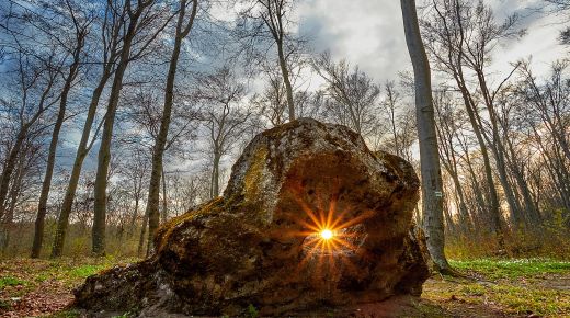
Despite the fact that on the day of Hitler's attack on the USSR, the shelters were finished in 25%, in the Roztocze region alone we can find the remains of as many as about 124 shelters. Some of them are in very good condition and bring to mind the famous Wolf's Lair. We usually do not have to put much effort to find them, as they stand in the middle of a meadow or field, several meters from the road. Sometimes, however, one has to delve into the Roztocze forests and ravines to find massive concrete buildings overgrown with moss and plants.
Penetrating the ruins, one can imagine that they were provided with water tanks, septic tanks, electricity was provided by generators and batteries, and connectivity between facilities was provided by underground electrical cables.
![Zabunkruj się na Roztoczu K Klysewicz 22 (2).webp [1.83 MB]](https://podkarpackie.travel/storage/image/core_files/2023/11/7/fb3e93e33778d00fc60eee26d9e664e7/webp/prot/preview/Zabunkruj%20się%20na%20Roztoczu%20K%20Klysewicz%2022%20(2).webp) photo: Krystian Kłysewicz
photo: Krystian Kłysewicz
![Zabunkruj się na Roztoczu K Klysewicz 18.webp [1.52 MB]](https://podkarpackie.travel/storage/image/core_files/2023/11/7/0bda4ae734154f8e6c33e287687d893b/webp/prot/preview/Zabunkruj%20się%20na%20Roztoczu%20K%20Klysewicz%2018.webp) photo: Krystian Kłysewicz
photo: Krystian Kłysewicz
Roztocze cycling routes
A ride on the bicycle path along the route of the Molotov Line fortifications on the section from Nowy Brusno to Podemszczyzna is an interesting form of sightseeing. We start from under the Orthodox Church of St. Paraskeva, heading west. After less than 3 kilometers, we reach the crossroads with the Bruśno cross and head towards "Podemszczyzna". Initially, the route leads us among meadows, where one of them looks like an island with dense thickets. This is where one of the shelters is hidden. Then we lose sight of the Roztocze meadows for a while to pass through the forest, and just beyond it we come across another structure. It is more visible because it's not as overgrown and the other one. You can get inside and see an observation tower erected by hunters on its roof. The journey continues all the way to Podemszczyzna, as the signboard shows, where we turn right onto a gravel road. It only takes a while and again we can see a meadow and a shelter in front of us. This is not the end of the story, for to the right of the ruins, some 200 meters, you can find another one, and next to it an old cemetery.
The most interesting structures are those located on the Hrebcianka hill (coordinates: 50.25305638428246, 23.349045032661476), in the forests of Stare Brusno or on the slopes of the Wielki Dział mountain (coordinates: 50.286942056214244, 23.38771103626145). It is worth knowing that some of them have been chosen by bats as a place for winter hibernation.
We recommend using a MAP to discover the Molotov Line shelters - MAP created by the Kriepost Research Group.


.jpg)
