When looking for the perfect place for a trip to the mountains, it is worth choosing the Beskid Niski as your destination. Many attractive trails await lovers of active recreation, providing opportunities for individual or family hiking, but also for competing in mountain running competitions, such as the Łemkowyna Ultratrail. This, as well as the history and stories of the ancient inhabitants of this land, make the Low Beskid a range just right for both a weekend getaway and a longer stay in the slow-life spirit.
Among the hills and vast valleys of the Low Beskid, there is plenty of well-marked hiking trails of varying lengths, walking paths and nature trails. More than 80 kilometers of hiking trails run through the Magura National Park area.
To those looking for a destination for a few days in the mountains, we recommend the Main Beskid Trail
(red trail)
![Beskid Cergowa 2.webp [868.19 KB]](https://podkarpackie.travel/storage/image/core_files/2023/4/25/828558efa5c4d57776b3b6d4da975339/webp/prot/preview/Beskid%20Cergowa%202.webp)
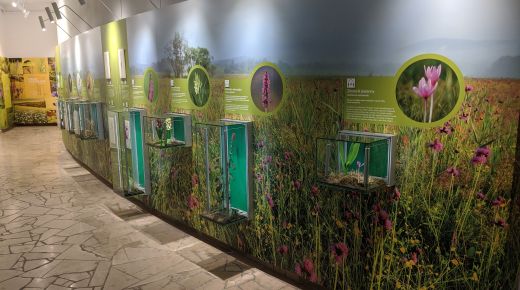
In the Subcarpathian region, it leads through the Magura Wątkowska Range, further above the village of Krempna with the Educational Center and Museum of the Magura National Park, through the Grzywacka Mountain with an observation tower, passing the hermitage of St. George. The road is located at the foot of St. John of Dukla and, crossing the road running to Dynowek, enters the massif of Cergowa Mountain (716 meters above sea level), with another observation tower with a panoramic view of the Low Beskid and Dynów Foothills.
Further on, the trail leads to Iwonicz-Zdrój, Rymanow-Zdrój, through Puławy to the Bukowica Range with the Tokarnia scenic mountain (778 meters above sea level), from which you descend to Komancza.
The second most important trail is the blue trail, called the Border Trail.
Running along the border, it moves away from it at some points, leading tourists to some interesting spots. You can start your hike in the village of Olchowiec, from where a path leading past a historic Lemko khyzha will lead you to the border mountain of Baranie. Further on, the trail leads to the border town of Barwinek, following in the footsteps of the non-existing Lemko villages of Czeremcha and Jasiel, with a camping buoys alongside reminders of World War II and the turbulent post-war era.
![Iwona_Woźniak_Jasiołka_Wrocanka_6058.webp [599.58 KB]](https://podkarpackie.travel/storage/image/core_files/2023/4/25/7ea36db25be510a167c63956a4d347d3/webp/prot/preview/Iwona_Woźniak_Jasiołka_Wrocanka_6058.webp)
The blue trail continues through the mountains of Kanasiówka and Bukowiec, from where the Jasiolka and Wisłok rivers flow. The Border Trail hike is an interesting option for a hiker traveling with gear.
Among health spas
Among the trails ideal for recreational hiking, it is worth recommending a walk along the green trail connecting Iwonicz-Zdrój with Rymanow-Zdroj, leading through the scenic Przymiarek range. Another interesting and recommendable route is the yellow municipal trail (white and yellow squares) starting in Dukla, providing an alternative route to the aforementioned Cergowa.
![Grzegorz_Gruca_Prządki_2659.webp [607.86 KB]](https://podkarpackie.travel/storage/image/core_files/2023/4/25/0f1a0d2b5b43134cbf1ab3defa2e50e4/webp/prot/preview/Grzegorz_Gruca_Prządki_2659.webp)
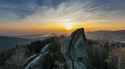
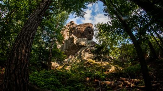
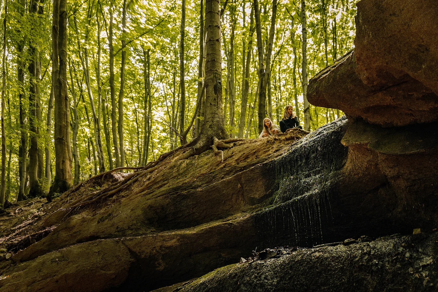
No less interesting suggestion for a day hike is the green trail starting in Krosno, which leads to the Kamieniec castle in Odrzykon, known from Fredro's drama, and from there, hiking further along the black trail, one reaches the charming Prządki rock reserve, telling the story of four spinners enchanted into stone monuments.
USEFUL INFORMATION:
Magura National Park
Krempna 59, 38–232 Krempna
tel.: +48 13 441 40 99, +48 13 441 44 40, +48 660 105 524
Educational Center of the Magura National Park in Krempna
Opening dates and times:
November-April
Monday: closed
Tuesday-Friday: 7:00–15:00
Saturdays, Sundays and holidays: closed
May-October
Monday: closed
Tuesday-Friday: 7:00–17:00
Saturdays, Sundays and holidays: 9:00–17:00
HIKING TRAILS:
Red Route
Main Beskid Route
section: Bartne - Magura Wątkowska - Swierzowa - Kolanin - Halbowska Pass - Kąty
section: Kąty - Łysa Góra - Chyrowa - St. John's Hermitage - Cergowa (716 m) - Iwonicz Zdrój
section: Iwonicz Zdrój – Rymanów-Zdrój – Wisłoczek – Puławy Górne – Tokarnia – Przybyszów – Komańcza
Yellow route
Bartne - Krempna (Bartne - Majdan pass - Świerzowa Ruska - Świątkowa Wielka - Kotań - Hałbowska pass - Krempna).
Jaśliska - Lipowiec - Czeremcha - Beskid Pass over Czeremcha.
Huta Polanska - Mazgalica Pass
Dukla - Chyrowa massif (Dukla -Kardasz (Chyczki) - Łazy Teodorowskie - trail junction (GSB))
Folusz-Kłopotnica
Mrukowa - Under Three Mounds
Wola Piotrowa - Kanasiówka (Wola Piotrowa - Bukowica -- Wisłok Wielki - Wisłok Górny - Kanasiówka)
Tylawa – Olchowiec – Baranie
Yellow walking trail:
Kamień nad Jaśliskimi - Czarwony Horb (616 m).
Dukla - Stasiane
Jawornik – Wahalowski Wierch
Oženna - border range
Green route
Iwonicz-Zdrój - Rymanow-Zdrój
Lipowiec – Kamień
Barwinek – Zyndranowa – Ostra – Stasiane – Tylawa – Dziurcz – St. John hermitage
Besko - Pulawy G. - Moszczaniec - Kanasiówka
Green Walking Trail:
Will we see the Tatra Mountains?
Blue trail
Kazimierz Pulaski blue border trail / Rzeszow-Grybów
section: Ropki - Huta Wysowska - Wysowa - Jaworzyna (881 m) - Konieczna - Grab/Ożenna.
section: Grab/Ozenna - Filipowski Wierch - Baranie - Barwinek - Dukla Pass
section: The Dukla Pass - Czeremcha - Kamień - Jasiel - Kanasiówka - Nowy Łupków - Łupków.
Habura – Weretyszów Mountain
Kamieniec-Dębica Castle
section: Kamieniec-Rzepnik Castle
Blue walking trail:
Jaśliska-Zyndranowa
Path to the Orthodox church in Bałucianka
Black Trail
Folusz (PKS) - Diabli Kamień - Folusz (clearing) - Barwinok (trail junction).
Running events:
The 8th Korczyna Run and NW "To the Prządki"
Main photo: Agnieszka Adamek

